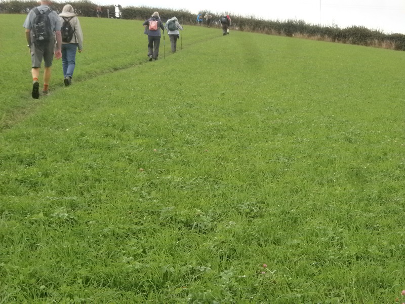
A splendidly led walk today, covering the hills to the west of Duffield village and on to include Quardon to the viewing point at the summit of Bunker’s Hill. Great views, as we climbed the several grassy fields on our way up to Quarndon. A few well-built wooden stiles to negotiate, along the way, some with a big step up, soil erosion the cause due to the countless number of walkers using them over many years. They were dry and sturdy, so we took our time, making sure all got over safely.
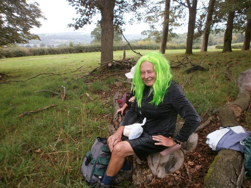
Steve had advertised this as a fancy dress, themed walk ‘Tarts and Vicars’ alas he was the only one who came in costume, also bringing several different brightly coloured wigs, see picture.
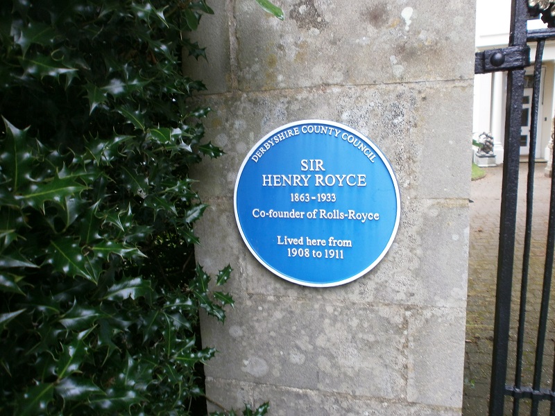
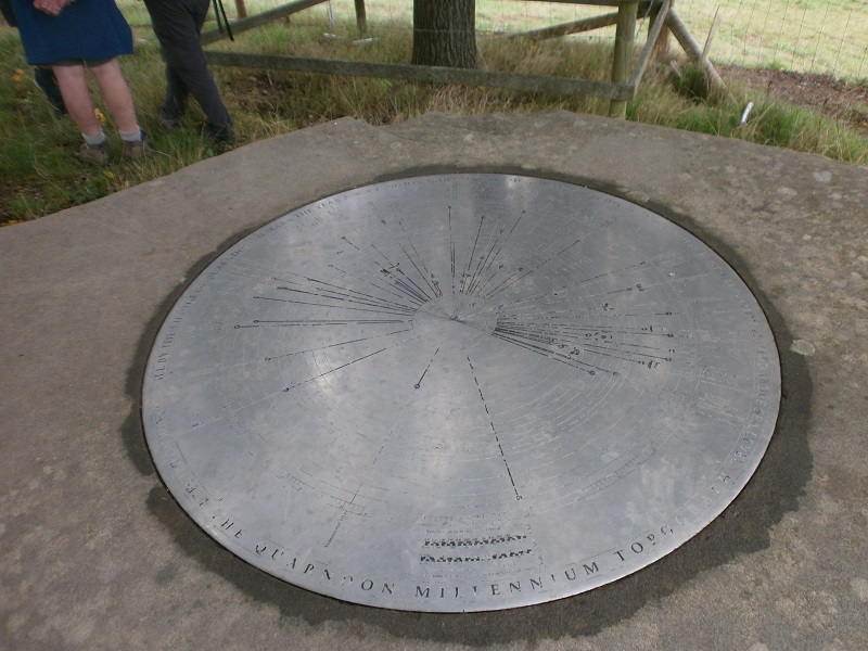
We left the church car park, making our way over Hall Field, to walk alongside the A6, Town Street, the main route through this busy village. We turned left into Tamworth Street, crossing over, via a road bridge, the River Ecclesbourne, eventually passing Duck Island, then to walk a lovely path, beside the river. At the end of Snake Lane we recrossed the river, pausing to look at the river here, changed so much recently, by the demolition of the old weir, being replaced by a rocky fall, this to allow migrating fish to journey further up the river to spawn. I understand that reports of some small migrating fish have been seen. After walking past the school, we crossed over the Wirksworth Road and then along Clumberhills Road. We took the first footpath, left, going diagonally all the way to the top of Quardon Hill, where we had our morning break. With the break over we ventured through this very affluent village, stopping to read the plaque, pictured, outside the house of Sir Henry Royce, co-founder of Roll Royce. From there we made our way to Monpelier and then followed the path to Bunker’s Hill, following the fenced permissive path to its summit and the Topograph sited there. We stayed awhile, excellent views over the A6 corridor and views over to the eastern ridge line and Holbrook. The summit and Topograph area are protected from the cattle, grazing on the adjacent field, some cows, seemed interested in our group, posing for a picture or two! Downhill now, making our way past Burleywood Cottages, to recross the A6 and so just one more field to climb the rail footbridge, dropping down the other side into the car park, arriving there, spot on twelve thirty, well done, Steve for an interesting walk.