
Crich Market Place
Wednesday 29th October
7.16 miles
Weather, cloudy and chilly to start sunny later.
7 Pictures by James W.


9 Pictures by John H-T

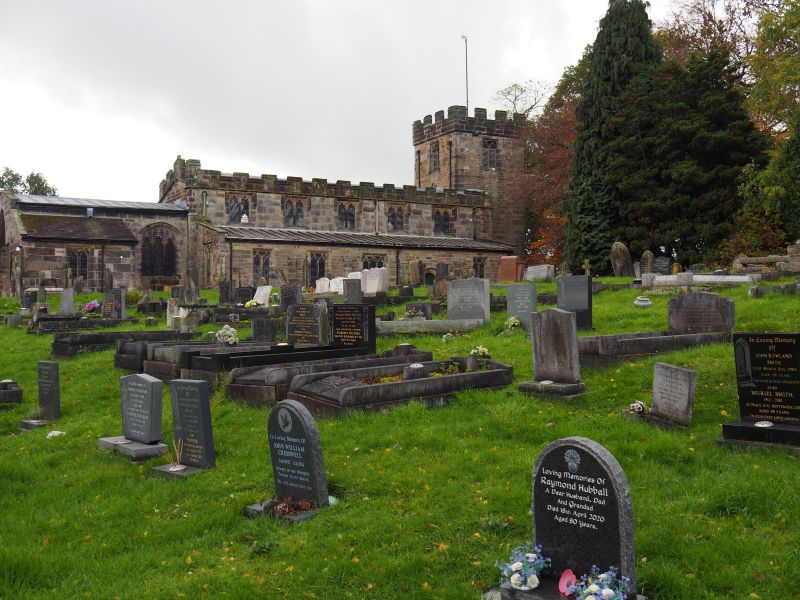
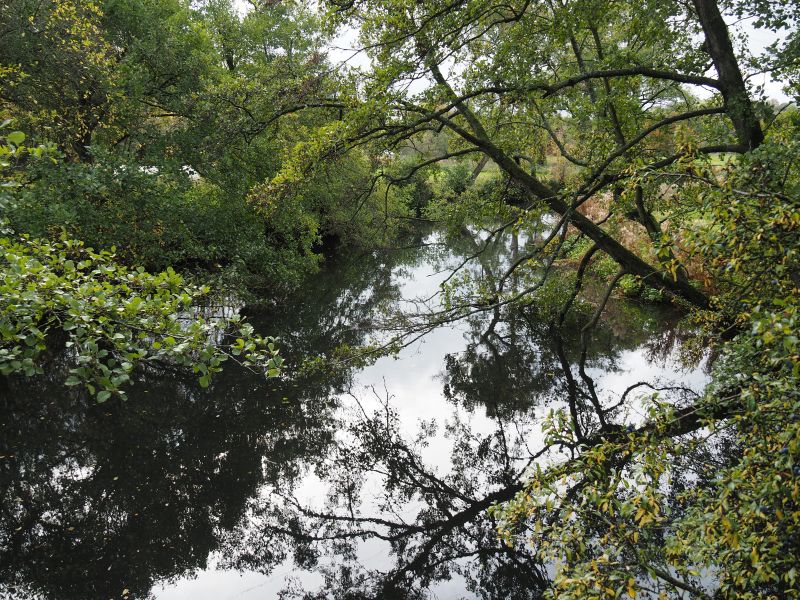


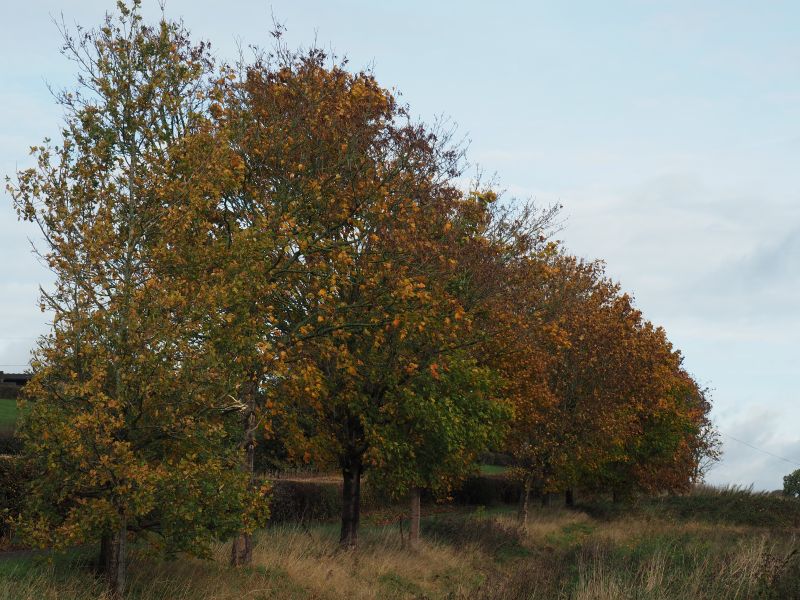
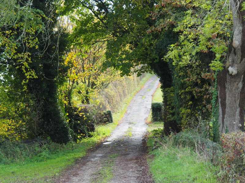
Refreshed, and still heading southeast, we walked through the grounds of Wingfield Park Hall, continued downhill, crossed the footbridge over the River Amber, and emerged on the B6013. After safely crossing the road, we climbed towards Pentrich Church, crossing the Roman Road (Ryknield Street on the map) along the way. Passing through St Matthew’s churchyard, we emerged onto Main Road in Pentrich, turned north to climb uphill, and then west to begin our descent along Riley Lane. Once again, we crossed the line of the Roman Road and passed the fallen pylon that has lain in the same field for the past thirteen years.
A little background on the pylon:
In July 2012, a power cable snapped and fell from an overhead pylon into a field near Pentrich. The incident was linked to metal theft at a nearby substation, which caused a power blackout and forced electricity to be rerouted. The resulting strain on the Pentrich cable led it to fail, leaving the pylon grounded during the repair work — where it still rests today.
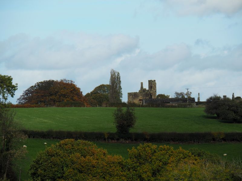
At the bottom of Riley Lane, we again crossed the B6013, crossed the River Amber, passed under the railway line, and climbed Coalburn Hill, with Coalburn Farm and Boden Farm on our right. We paused for a peaceful lunch break in a field just west of Boden Farm, enjoying views across the valley to the roofline of Wingfield Manor. After lunch, we walked through woodland, ascended a little further, and then descended the other side of the hill to rejoin Dimple Lane. Passing the old hat factory. We made a steady final ascent back to our starting point in Crich — spotting a red kite along the way.
Thanks to everyone who joined the walk. Lyn