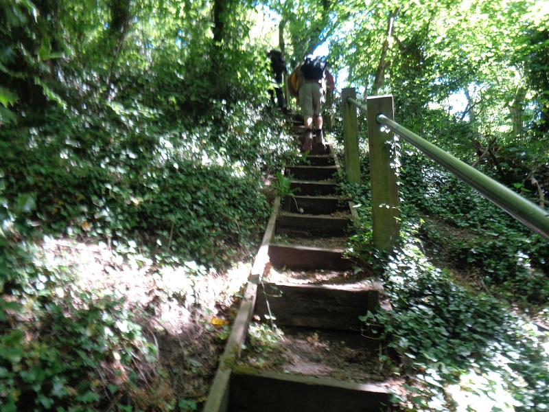
On the map, the trace looks more like a figure eight, lying on its’s side, when meeting the outward line at Wakebridge, we then did nearly a circuit around Crich Stand and quarry. We set off by taking the former Turnpike Road, pausing to view the cast iron mile post, (pictured) below Cliffside, down to Wakebridge, turning left off the road, at the wooden footpath sign. The sign marked with an Amber Valley Routeway disc, walk no 22. We followed this path all the way down, via Oxley Wood to the Cromford Canal. After crossing, Robin Hood Road and then over a footbridge, over the canal, we headed north, along the towpath for the next half mile. At Gregory Tunnel, we climbed and crossed over the canal into the former Deer Park, ascending to somewhere opposite, Lea Hurst, once the home of Florence Nightingale. In the shade of lovely giant Beech trees, we stopped for our morning break. Soon, on the move again into Bracken Lane in Holloway, we turned right though a small close and took a long set of stone steps to Leashaw Road, exiting onto it a point where the, almost permanent, road closure signs are. A short rest, before an even longer ascent, climbing over ninety wooden steps, to Upper Holloway. Almost within touching distance of The Hollow, but not taking it, we walked south east, along the ridge top, with fantastic views down over the A6 / Derwent corridor. We now made our way to pass by Wakebridge Farm and then as described, to climb a good path to encompass Cliff Quarry and Crich Tramway museum site, pausing briefly to take in the stunning views from the base of Stand itself. A short walk now, along by the entrance to the museum, around the corner to the cars, arriving there about twelve forty. Thanks to John for leading the walk and his insightful commentary.